Data Sets & Subscription Plans
 Free
Free
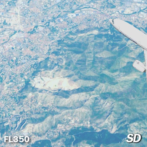
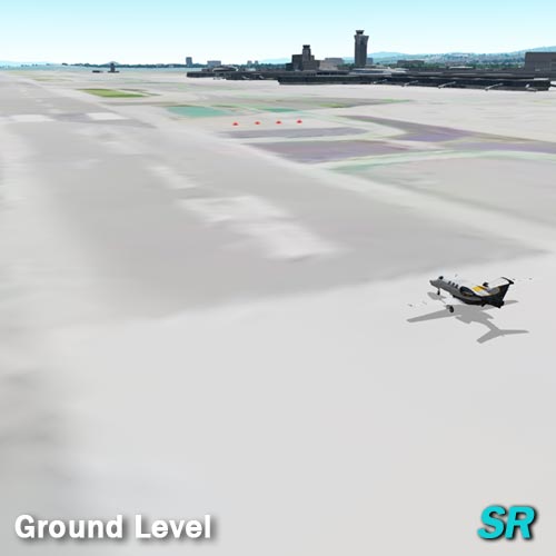
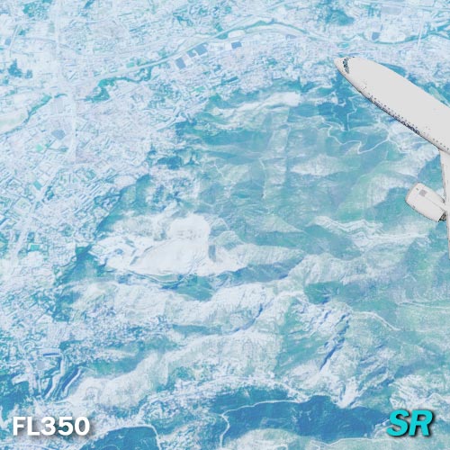
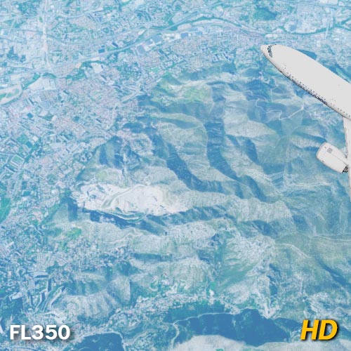
Legacy (2016) imagery set available for free in GeoFS. Theses global satellite images come from the Sentinel-2 (European Space Agency) Copernicus mission and provide a resolution between 10 and 60 meters per pixel.
To compensate for the lack of precision, GeoFS overlays generic graphics for all runways longer than 5000 feet.
 Free
Free
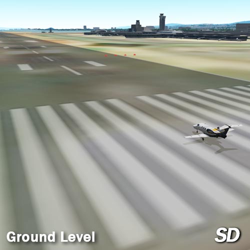
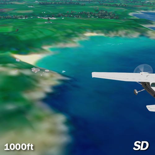
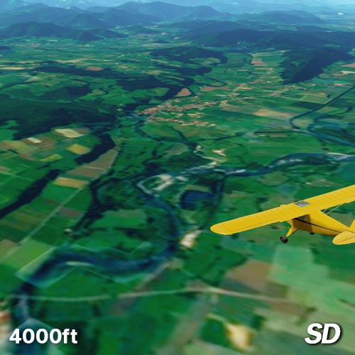
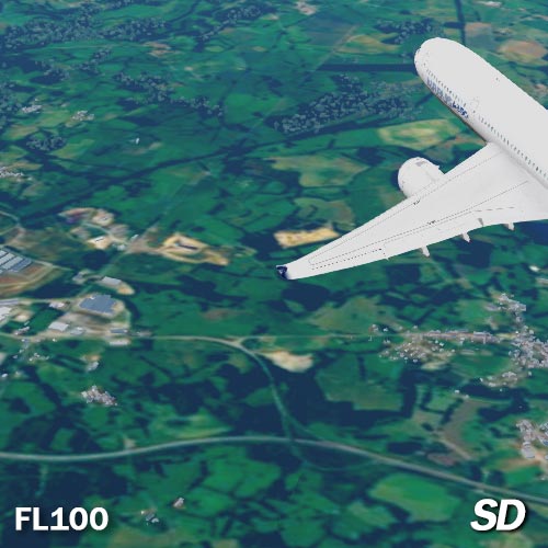
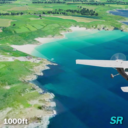
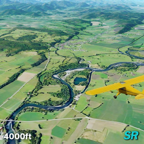
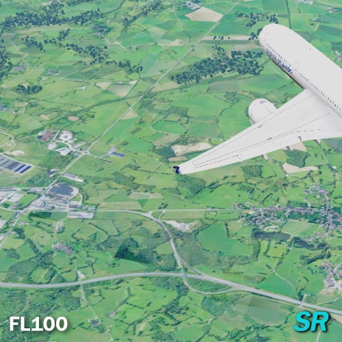
Super Resolution images are provided by the Allen Institute for Artificial Intelligence as part of the Satlas program. These AI enhanced images have been reprocessed from Sentinel-2 and NAIP satellite images to reach a resolution of 1 meter per pixel.
While AI can be wrong and "allucinate" at times, this level of resolution should be sufficient to recognise runways and most ground features, allowing for VFR flight.
 per year
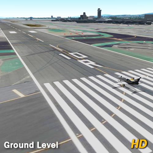
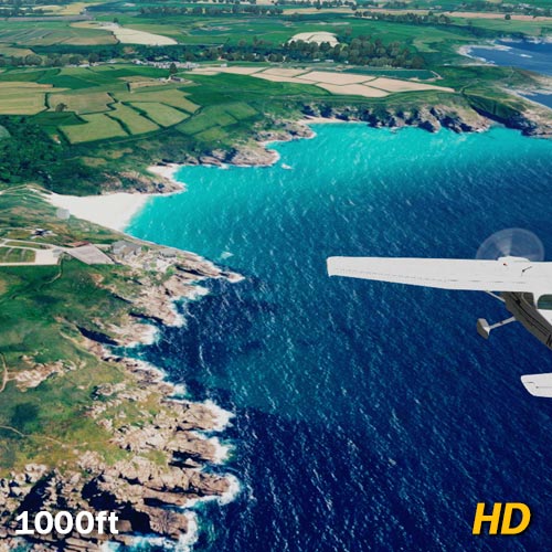
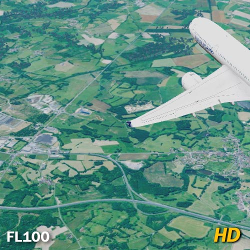
You can subscribe to GeoFS HD to fly with, global, high resolution (sub-meter) Microsoft Bing Maps aerial imagery. These images are particularly suitable for VFR flight.
And to enjoy HD as it should be, subscribers also get GeoFS ads free!
Try HD, free, for a day!
You must login to start the one day free trial
Start free trialBefore purchasing a subscription,try HD aerial imagery free for one day.
Purchase a GeoFS HD subscription
You must login before purchasing a subscription.
1 year GeoFS HD global aerial imagerySubscription and trial do not renew automatically.
You can purchase a new subscription after expiration.
